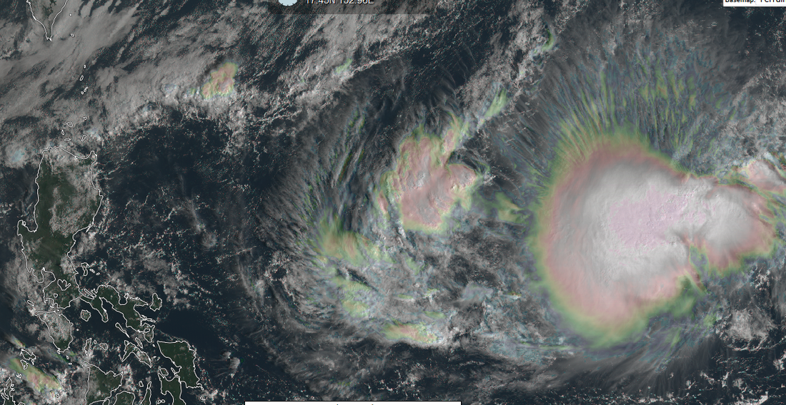
 Himawari-8 Image of TD 91W to the east of the Philippines. (Credit: Real Earth)
The tropical disturbance now passing the Guam-Southern Marianas is now upgraded by the Japan Meteorological Agency (JMA-Tokyo) into a full Tropical Depression, packing winds of 55 KPH (30 Knots) within the system,
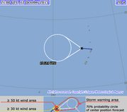
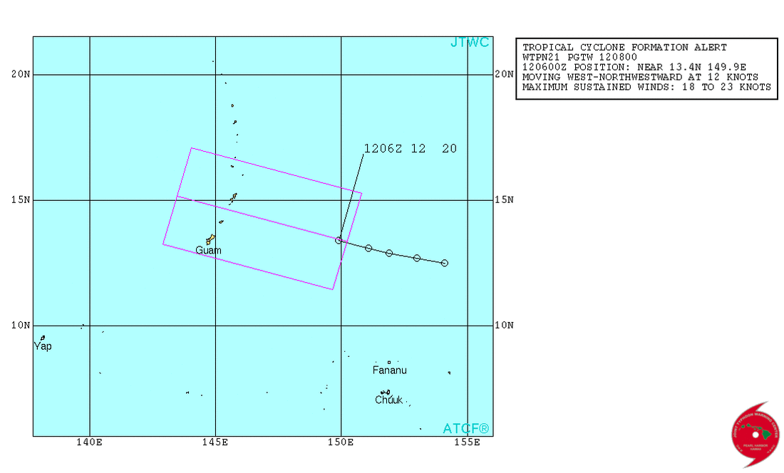
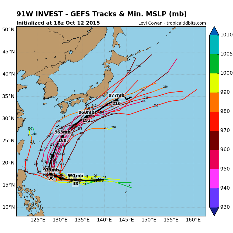
The Joint Typhoon Warning Center has a Tropical Cyclone Formation Alert. TD 91W is now located 180 km North of Guam or 120 km West of Saipan, Marianas Islands and is tracking to the West at 15 KPH. This motion is expected to continue until Thursday. TD 91W is expected to intensify and become a Tropical Storm within the next 24 hours. Available forecast models indicate TD 91W tracking across the Philippine Sea entering the Philippine AoR by Thursday Morning. The same model runs currently indicate a Luzon approach as a Typhoon by the weekend, but recurve to the North before even striking Luzon in response to a Low to develop near Taiwan. Please do take note that model forecasts change with each run, and caution is advised in their interpretation. Even so, interests in the Philippines, Taiwan and Japan should monitor TD 91W as it progresses. Once JMA-Tokyo upgrades to a storm, 91W will be named Koppu. PAGASA will name the system as Lando once it crosses the 130E longitude. |
Archives
September 2016
Categories |
Manila Typhoon Center - Your online resource for typhoon updates.
 RSS Feed
